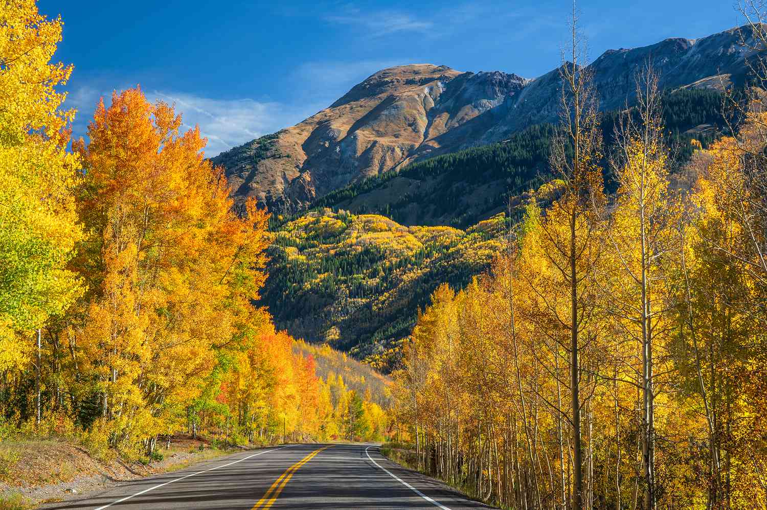
Colorado’s Million Dollar Highway may be short, at just 25 miles, but it’s mighty. The narrow, two-lane highway, which connects the mountain towns of Ouray and Silverton, reportedly cost a million dollars a mile to build—and that was back in the early 1920s.
However, once you start the drive, that high price quickly begins to make sense. The road is cut directly into a cliff and runs above a deep gorge. Sheer rock walls loom on one side, while the other, which is completely unguarded, plunges to the narrow canyon below.
Drivers traveling south from Ouray to Silverton, will be on the steep outer side of the highway, while those driving north from Silverton to Ouray will hug the inside of the cliff face. The road is as awe-inspiring as it is perilous: it’s surrounded by impressive 14,000-foot peaks.
As the road ascends to Red Mountain Pass (the highest point of the drive at over 11,000 feet above sea level), you’ll see the three peaks of Red Mountain, known for the reddish hue that comes from the iron ore that covers it. You’ll also pass Ironton, a ghost town known for being a moose sighting hot spot, and see the remains of the historic Idarado Mine. Hidden hot springs await those in the know, and the mountain views are never-ending.
The Million Dollar Highway is open year-round, but it’s periodically closed to clear rockslides and avalanches. If you plan to visit during the winter, which can start as early as October in the mountains, tire chains and a vehicle with four-wheel drive are recommended.
The infamous highway is part of the greater San Juan Scenic Byway, which loops for 236 miles through southwestern Colorado, one of the most scenic parts of the state. After driving the Million Dollar Highway from Ouray to Silverton, the San Juan Scenic Byway continues south along the Silverton Narrow Gauge Railroad to the town of Durango. From there, the byway shoots west toward Mancos and Mesa Verde National Park, home to one of the densest collections of prehistoric ruins in the U.S. At the national park, the route heads north toward the ski town of Telluride, crossing over Lizard Head Pass (elevation 10,222 feet), before looping back toward Ouray.
Though the highway is considered one of the most challenging (and, at times, dangerous, depending on conditions) know that campers and semi-trucks frequently drive this route. If you follow traffic directions and signs and are aware of your surroundings, the trip is more than worth it.
Read the full article here